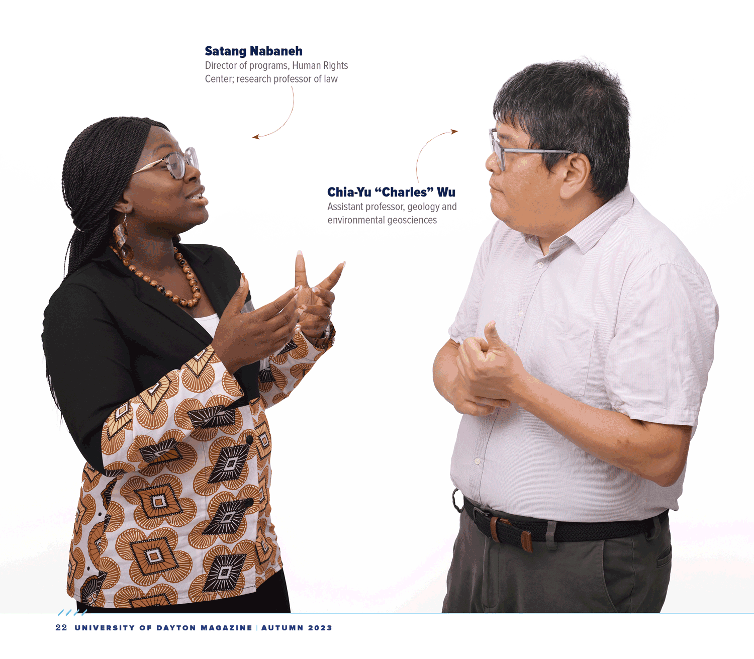
Mapping human rights
Charles Wu: Geographical information systems — GIS — is like computer science. It’s a software that has a lot of different tools. I use some of the tools for river study, for hydrology, for example. But I can apply these tools to other topics. Engaging with GIS and human rights issues together actually helps me to understand more of the tools that I can explore inside of GIS science.
Satang Nabaneh: I came to UD in 2021 as a director of programs with the Human Rights Center. Given my background as a lawyer, activist and scholar, I have a hand in educational initiatives, GIS projects and a broad range of other initiatives. The Human Rights Center, along with the Department of Geology and the American Association for the Advancement of Science, had this ongoing partnership on the application of geospatial technologies to human rights. Key outcomes of this collaborative partnership have been two reports that harness technology for the advancement of human rights advocacy. These reports serve as valuable resources to support human rights organizations, particularly in their efforts to address human rights violations.
CW: For the two reports we completed, we had satellite images collected from different times. You simply compare the temporal changes. So, for example, we can see a lot of houses being demolished in Myanmar, where the Rohingya people had lived.
SN: He’s saying it quite simply. They actually sit at the computer, and they’re looking at small data points. I look, too, but when I do, I’m not seeing anything.
CW: It does require experience, but this application of GIS was a whole new thing to me. For example, because Syria is a war zone, you have a lot of shelling, you see a lot of craters. I remember one day I found weird — really, really weird — features on the ground. It looked like a lot of linear lines. Originally, I thought, it’s military trenches. But no. One of our colleagues told me: That’s not a trench. You found a mass grave. Trench is just a thin line. This is not — it’s a lot of lines.
It struck me a lot. I’m from Taiwan, and there’s conflict between China and Taiwan. A lot of people say, Taiwan could become a war zone. War is really dangerous, terrible, cruel. The findings were a shock to me.
SN: Indeed, we have all these incredible, beautiful human rights treaties and other documents that governments and states have signed on to. Organizations, individuals, activists and other experts have to have the information they need to hold
governments accountable. This process of transparency and accountability is what bridges the gap between the lofty ideals of international agreements and the often complex realities on the ground.
This use of GIS and other technologies is at the intersection of teaching, research, scholarship and advocacy. We are extremely excited about this new course, GIS for Human Rights, starting in the spring semester. We will be supporting students in being able to do legal research, utilizing scientific methods for documenting human rights violations, and providing data and evidence for human rights organizations to actually use.
CW: This course is not designed for our geology and biology students. They already can take Fundamentals of GIS. The new course is for students from the humanities and those with a social science background.
SN: And it has been approved for the new human rights in engineering minor. It is a course within the Common Academic Program, so students with many interests can get credit-bearing practical experience in human rights work. This cross-disciplinary connection, we hope, enriches the learning experience and highlights the course’s relevance in diverse contexts.
CW: And I’m also bringing that experience into my fundamentals course. I have a mini project for them about environmental justice in the Dayton area. If you live really close to a highway system, especially the interstate highway system, it’s really loud. So, we want to use a tool to measure a 2,000-meter buffer zone and see who lives in the noise pollution zone. That’s how we use GIS to study environmental and social justice. Everything has to relate to the community.
SN: The mass grave report is being used by the Syria Justice and Accountability Centre. One of our potential projects is with a regional human rights institution in Africa. It brings the work closer to home because, prior to coming here, my main work and passion has been supporting the strengthening of the African human rights system; I’m from the Gambia. So, for me and Charles, our work brings conflicts that look so far away closer to us and our immediate environments — and it does so especially for our students.
The projects that we will be doing will give students the opportunity to have a global perspective. They will use available resources, tools and technology to contribute toward innovative problem solving. What makes the course unique is that the boring lawyers like me are not just doing the legal analysis, right? And the scientists like Charles are not just doing the technical bit, right? The course fosters a collaborative environment driven by a common purpose. This is fully in line with values-based foundation of a Marianist education in human rights.
CW: Usually, when I do research, it’s by myself; it’s interesting, but it’s really lonely. But we found from the first two reports that there can be a lot of student involvement. We are not just doing this by ourselves; we rely on trained students to conduct these projects. I enjoy fitting those kinds of projects into a pedagogic process that can actually help students along.